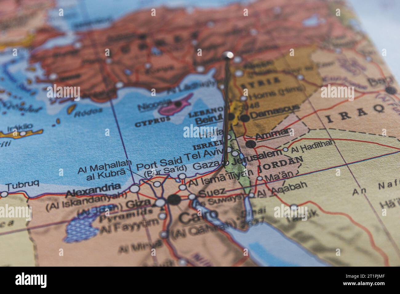
Geography is usually about lines on paper, but when you look at a map of Palestine, Gaza Strip, and West Bank, those lines represent some of the most contested real estate on the planet. It’s a jigsaw puzzle. Honestly, it’s more like a puzzle where the pieces keep moving while you’re trying to fit them together. If you've ever felt confused looking at these borders, you aren't alone.
Most people see a single block of color on a digital map and assume that's the whole story. It isn't. The "Green Line" is the starting point, but the reality on the ground in 2026 is a patchwork of checkpoints, separation walls, and "Area A, B, and C" zones that make a simple commute feel like crossing an international border.
Breaking Down the Map of Palestine, Gaza Strip, and West Bank
The Gaza Strip is a tiny sliver of land. It’s roughly 140 square miles. To put that in perspective, it’s about twice the size of Washington, D.C., but packed with over two million people. It sits on the Mediterranean coast, bordered by Israel to the north and east, and Egypt to the south. Because of the blockade and the intense conflict cycles—most notably the devastating escalations starting in late 2023—the map of Gaza is often defined more by its "no-go zones" and destroyed infrastructure than by its traditional neighborhoods like Rimal or Khan Yunis.
Then you have the West Bank. It’s much larger, sitting to the east of Israel and bordering the Jordan River. But it isn't a solid block.
Following the Oslo Accords in the 1990s, the West Bank was split into a complex administrative grid. Area A is under Palestinian Authority control. Area B is joint control. Area C—which makes up about 60% of the land—is under full Israeli civil and military control. When you see a map of Palestine, Gaza Strip, and West Bank today, the West Bank looks like "Swiss cheese." The holes in the cheese are the Palestinian population centers, and the cheese itself is the Israeli-controlled territory and settlements.
The Disconnect Between Gaza and the West Bank
One thing that trips people up is the distance. Gaza and the West Bank do not touch. They are separated by about 30 miles of Israeli territory at their closest point. Historically, there were talks of a "safe passage" or a sunken highway to connect the two, but those plans are basically relics of a different era now.
Why the Borders Keep Shifting
Maps are supposed to be static, right? Not here. The 1949 Armistice Line, often called the Green Line, is what most international bodies recognize as the pre-1967 border. However, the construction of the Israeli West Bank barrier—a massive project of walls and fences—doesn't follow that line perfectly. It often swerves deep into the West Bank to include certain settlements on the "Israeli side."
This creates "seam zones." These are pockets of land where Palestinians live but find themselves on the Israeli side of the wall, yet they aren't citizens of Israel. It’s a legal and geographic limbo.
- The Gaza Buffer Zone: Israel has historically maintained a "buffer zone" inside the Gaza fence. Anyone entering this zone risks being shot. This effectively shrinks the amount of farmable land for Gazans.
- Settlement Growth: In the West Bank, settlements have expanded significantly over the last decade. Groups like Peace Now track this growth meticulously. Every new hilltop outpost changes the "facts on the ground," making a contiguous Palestinian state harder to visualize on a map.
- The Dead Sea and Jordan Valley: If you look at the eastern edge of the West Bank map, you’ll see the Jordan Valley. Israel considers this a vital security buffer. This means even if the rest of the West Bank were to become independent, the border with Jordan would likely remain under Israeli military oversight.
Understanding Area C and the Fragmented Reality
If you’re driving from Ramallah to Bethlehem, you can’t just go in a straight line. You have to navigate around settlements and through checkpoints like Qalandiya. This is why a map of Palestine, Gaza Strip, and West Bank is so misleading if it’s just a flat image. You need to see the elevation and the bypass roads.
There are roads in the West Bank that are primarily for Israeli settlers, allowing them to bypass Palestinian villages. Conversely, Palestinians often have to take longer, winding routes to get between their own cities. This "dual road system" is a defining feature of the modern geography here. It’s not just about where the land is; it’s about who is allowed to move across it.
The United Nations Office for the Coordination of Humanitarian Affairs (OCHA) produces some of the most detailed maps of these restrictions. They show hundreds of "movement obstacles"—everything from permanent checkpoints to "earth mounds" (literally piles of dirt blocking a road).
The Role of East Jerusalem
Jerusalem is the heart of the map, and it's the most complicated part. The international community largely views East Jerusalem as occupied territory that should be the capital of a future Palestinian state. Israel, however, annexed it and considers the entire city its "undivided capital."
On a map, you’ll see the "Old City" tucked inside East Jerusalem. Since 1967, Israel has built large residential neighborhoods around the perimeter of East Jerusalem. These "ring neighborhoods" effectively cut off the Palestinian parts of Jerusalem from the rest of the West Bank. If you’re looking at a map and wondering why the West Bank looks pinched in the middle, that’s why. It’s called the E1 zone, and it’s one of the most politically sensitive spots on Earth.
Practical Ways to Read These Maps
When you are looking at a map of Palestine, Gaza Strip, and West Bank, don't just look at the outlines. Look for the layers.
- Check the Source: A map from the Israeli Ministry of Foreign Affairs will look very different from a map produced by B'Tselem or Al-Haq. One emphasizes security and historical ties; the other emphasizes occupation and human rights.
- Look for the "A, B, C" Shading: If the map is all one color, it's oversimplified. You want a map that shows the fragmentation of the West Bank to understand why governance is so difficult there.
- Search for "Real-Time" Data: Because of the ongoing conflict in Gaza, borders (like the Rafah crossing or the Philadelphi Corridor) change hands or get shut down frequently. Use tools like the Liveuamap or OCHA’s daily updates to see what’s actually happening this week.
The Actionable Reality
Understanding the geography is the first step toward understanding the news. If you want to follow this situation accurately, stop looking at "static" maps that haven't been updated since 2005. The landscape has changed.
Start by using the OCHA OPT (Occupied Palestinian Territory) interactive map tool. It allows you to toggle layers like settlements, checkpoints, and the separation barrier. This gives you a visceral sense of the "fragmentation" that experts talk about.
Secondly, follow the work of mapping experts like those at the Applied Research Institute - Jerusalem (ARIJ). They provide deep dives into land use and how the map of Palestine, Gaza Strip, and West Bank is being reshaped by infrastructure projects, water rights, and agricultural zoning.
Geography here isn't just science; it’s destiny. By seeing how the land is carved up, you can better understand why a two-state solution is frequently described as being on life support. The map tells the story that politicians often try to hide in rhetoric. To stay informed, cross-reference official government maps with NGO data to find the truth somewhere in the middle. Focus on the "access and movement" maps specifically, as they show you the human cost of the lines on the page.